

Wetlands

Wetlands
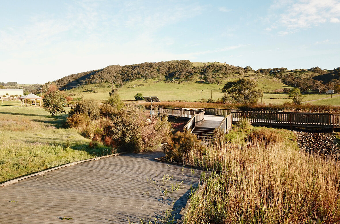
Mount Compass Wetland & Stormwater Reuse Project.
Behind this constructed wetland is a Fleurieu Swamp which is one of several that are unique to South Australia. They exist on waterlogged soils and generally have a central area that is permanently wet. Healthy swamps rarely have open water like a pond. Instead they have thick vegetation such as sedges, healthy plants and ferns. Trees are not always present, but may be scattered around the edges.
Swamps play a key ecological role on the Fleurieu Peninsula as they:
- store, cleans and release water over time, protecting the landscape against drought
- filter and trap sediments and nutrients and help break down pollutants
- act like sponges to buffer against the impact of floods and keep water in the landscape.
Over half of the 170 native plant species found in Fleurieu Swamps have conservation significance at a national, state and regional level (e.g. endangered, vulnerable, rare). The nationally threatened Mt Lofty Ranges Southern Emu-wren, Yara Pygmy Perch and Southern Brown Bandicoot can also be found in swamps along with a number of internationally significant migratory birds including the Great Egret and Latham’s Snipe.
Alexandrina Council is committed to water sensitive urban design which enhances the health of our waterways.
The Mount Compass Wetland is a public showcase for sustainable stormwater management. The wetland collects and treats urban stormwater runoff from a 82 ha catchment, returning 44ML of treated stormwater into the Nangkita Creek floodplain each year. The wetland now cleanses this water, reducing pollutant loads and improving water quality before it is returned to the environment.


Nangkita Road
MOUNT COMPASS